Mapping

Accurate and Powerful Mobile Mapping

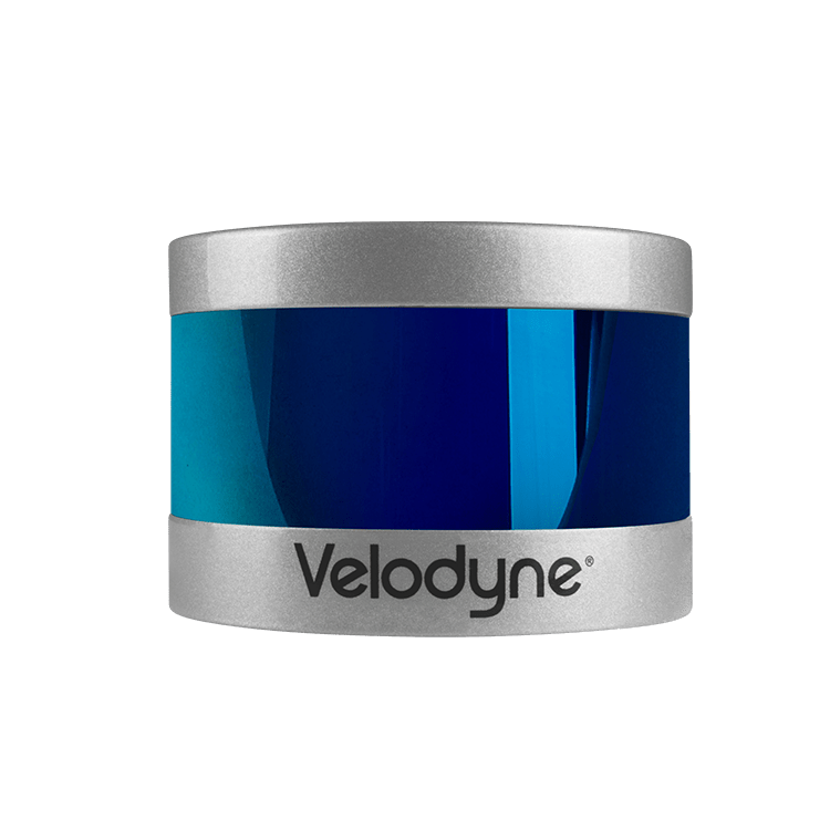
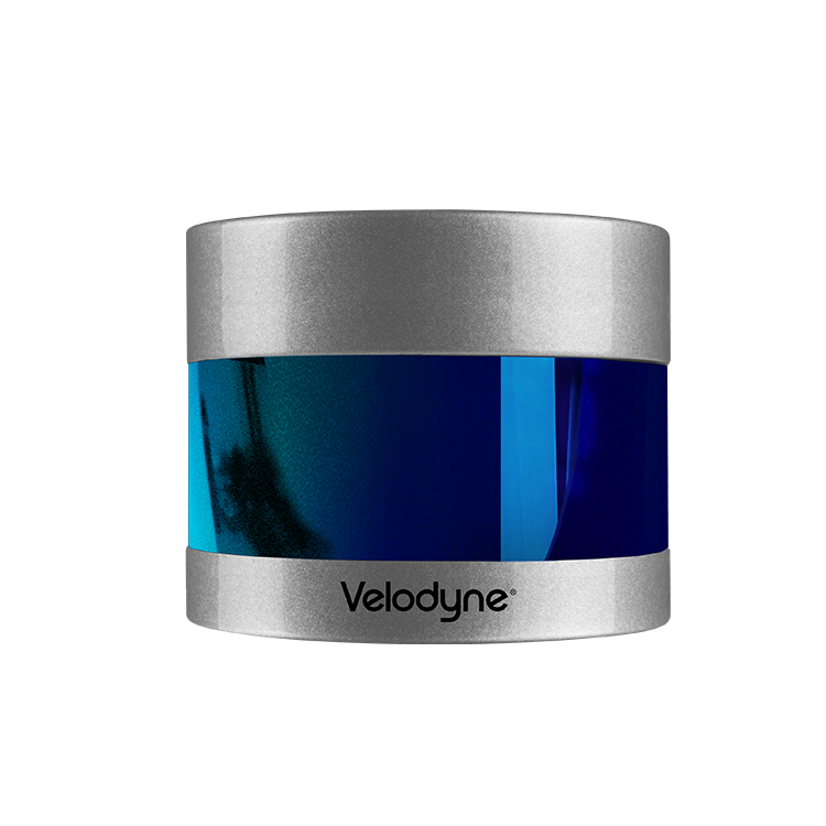
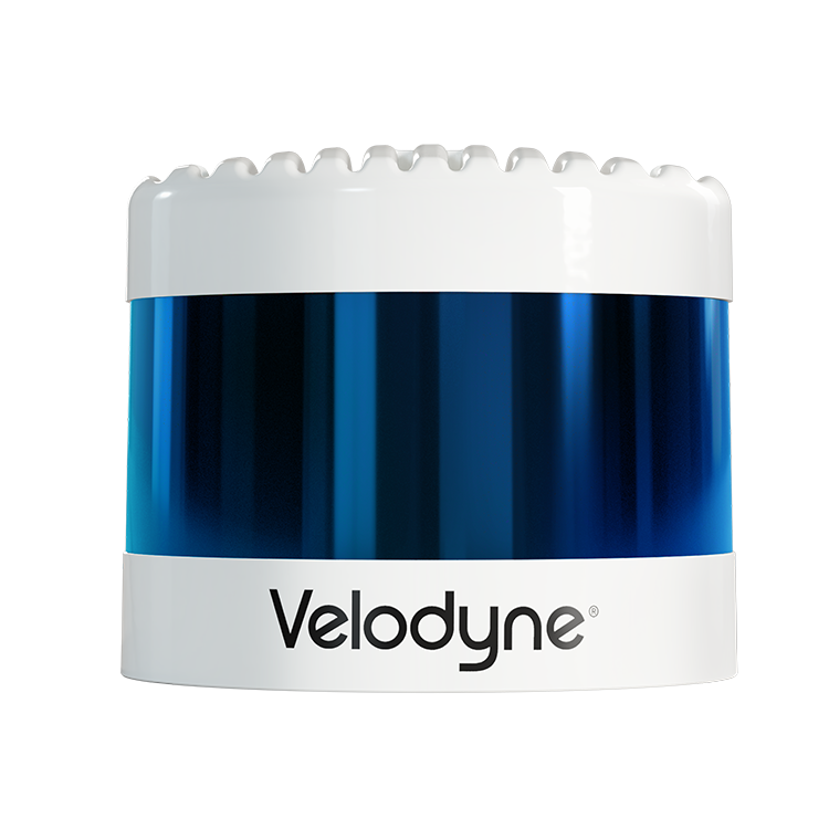
Velodyne lidar makes it quick and easy for companies to build highly accurate 3D models of any environment for mobile mapping. Our sensors deliver a high-resolution surround view image to accurately measure and analyze the environment. The performance, range, and compact form factor of Velodyne sensors enable developers to design versatile systems that can be configured to mobile mapping needs.

Applications:

Aerial Mapping Archeology Construction Disaster Recovery Forestry Geography Indoor Aerial Vehicles Indoor Mapping Large Scale Indoor Mapping Outdoor Mapping Safety and Survey Inspections Site Survey Software Tools Traffic Management Underground Mapping Mining, Digital Twin Inertial Navigation Systems (INS)

Featured Products for Mapping Featured

CES 2022: Velodyne Lidar + Emesent Virtual Booth Presentation

Watch Video on YouTube

CES 2022: Velodyne Lidar + Exyn Technologies Virtual Booth Presentation

Watch Video on YouTube

Detailed Curb and Parking Analysis

Read Success Story

Mapping Complex Hospital Crawl Space

Read Success Story

Redesigning Roadways with UAV

Read Success Story

Top 3 Takeaways from the Velodyne – Kaarta Webinar

Read Article

NavVis Enables Reality Capture in Complex Built Environments

Read Article

Exyn Delivers Impossible to Reach Data with Breakthrough Autonomy

Read Article

Top 3 Takeaways from the Velodyne – Gexcel Webinar

Read Article

MOBILTECH Powering Autonomous Solutions to Recognize the World as We Do

Read Article

Mapping the Inaccessible with Lidar

Read Article

Lidaretto 3D Scanning System Captures Accurate, Reliable Geospatial Data from Any Location

Read Article

Wheaton College Archaeology Team Uses Velodyne Lidar to Preserve the Past

Read Article

Automated with Velodyne
Explore all
© Velodyne Lidar, Inc. 2023 All Rights Reserved