


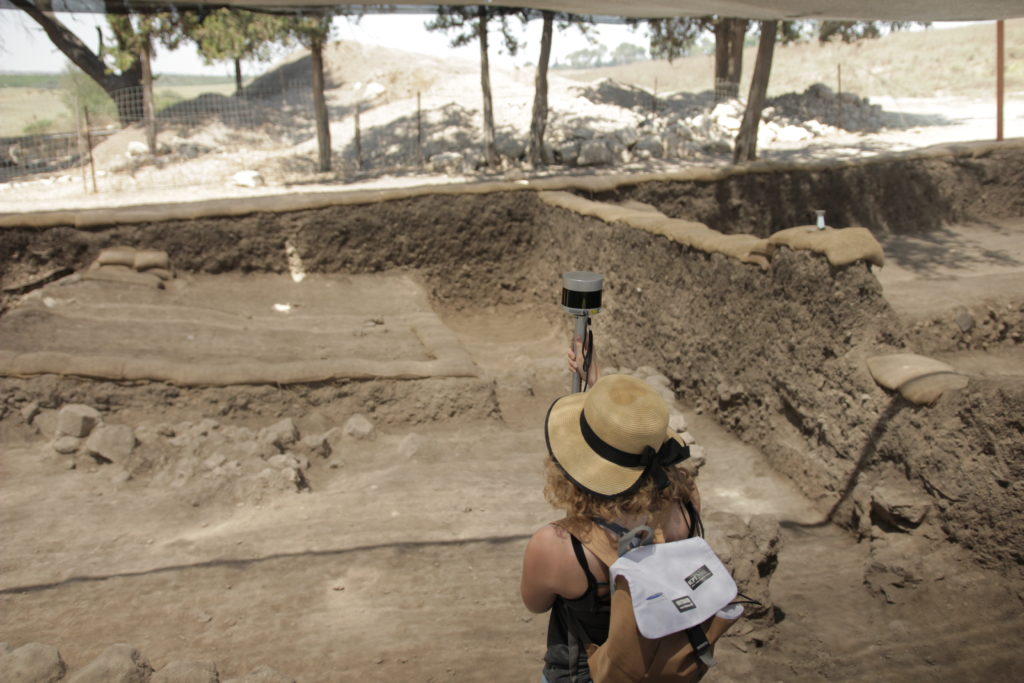
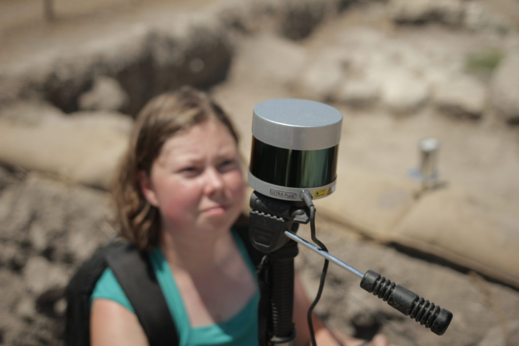
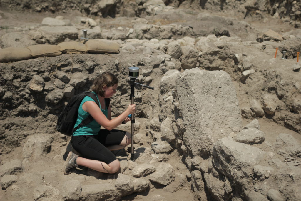
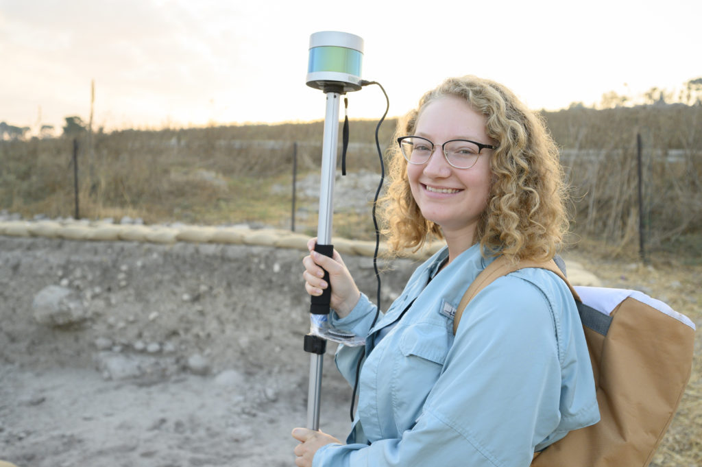
Lidar technology is being used to understand and preserve the ancient world. Students of the Wheaton College Archaeology Program, led by Prof. Daniel Master, Ph.D., are using a Velodyne Ultra Puck™ lidar sensor during their excavations in Tel Shimron, Israel.
The Tel Shimron Excavation is an archaeological site located in the Jezreel Valley. It is one of the last major biblical sites still to be fully explored by archaeologists. Work at the site began in 2016 and has already found a series of ancient cities dating from the Middle Bronze Age through the medieval period.
The project, led by Prof. Master, brings together students from Wheaton College, near Chicago Ill., along with scholars from all over the world. They use the Ultra Puck to scan and analyze their work, tracking each day’s progress at the excavation site.
We connected with Prof. Master and his student, Physics major Rachel Barron, to learn more about how lidar is being used at the Tel Shimron Excavation, student experience using the state-of-the-art technology and what they see as the role of lidar in archaeology.
V: Would you share with our readers the goals of the Tel Shimron Excavation and what was accomplished this year?
The Tel Shimron excavation is a multi-year research project to understand a larger ancient city in the Jezreel Valley in Israel. The city was occupied from the late Stone Age through modernity, and those remains make up the archaeological ruins. Last season we excavated remains from the Middle Bronze Age (2000–1550 BC), the Hellenistic period (300–140 BC) and the Roman period (AD 0–400). We found houses, public buildings and fortifications.
V: You have likened the work at Tel Shimron to reconstructing a complex 3D puzzle. How did using lidar technology help your archaeological investigation?
Lidar has been used for a while to reconstruct ancient surfaces – either mapping an ancient ruin or finding new ruins in a jungle, but for the most part it has been used to measure things that are static from day to day. We wanted help reconstructing our day to day activities on the site – measuring change over time. We already use photogrammetry and digital surveying equipment, but lidar offers the opportunity to record much more about the puzzle pieces we were excavating.
Before lidar, we had two surveyed points roughly telling us where the start and finish for the dig was on a day – a top and bottom level. We did more for installations and architecture, primarily with photogrammetry, but we realized that this missed an awful lot of information about our excavation. With Velodyne’s Ultra Puck lidar, we are working to capture more detail about what we dig. Our goal is to produce a three-dimensional shape that represents every mass of dirt (or stone or mudbrick) that was removed during a day. This will allow us to see each puzzle piece in great detail.
V: How did working with Velodyne’s lidar technology in this project enhance the learning experience of your students?
We made a decision, with Velodyne’s backing, that this would be a student project. The students started without knowing anything about lidar or the implementation. It was a great learning experience to figure out the language of 3D mapping and lidar as well as how to make this project work. From the hardware integration to working with Velodyne’s latest beta programs, to the custom programs we have written or adapted, this project has allowed a whole cadre of students to see what a great tool Velodyne has produced.
V: What’s next in your plans for the Tel Shimron Excavation?
Last year, we engineered our way through every problem you can imagine, but now we finally have a working tool set, producing high-resolution daily models. This summer will be about implementation and streamlining. We want to take this development project and turn it into something that anyone can use with a very low learning curve. Our vision for this product is that it will be a fully integrated, lightweight and user-friendly archaeological recording system.
At the same time, we will be collecting good data from Velodyne’s Ultra Puck, starting day 1 in the summer of 2020, and we look forward to a finally seeing hundreds of puzzle pieces of the excavation. It will change the way we excavate, but, even more, it will be a huge leap forward in our record keeping.
V: As you look forward, how do you see the combination archaeology and lidar helping us better understand the ancient world?
Already lidar has found new archaeological sites and mapped great monuments. Now, it will give us the opportunity to record the ever-changing details from a multi-period tell. When you are excavating in such a site, you only have one chance to excavate correctly; the process is destructive. First, you need talented field archaeologists who know what they are doing. Then, lidar will allow us to record their careful work in way that will allow future generations to follow in their footsteps and virtually re-excavate the entire mound.

Velodyne Lidar (Nasdaq: VLDR, VLDRW) ushered in a new era of autonomous technology with the invention of real-time surround view lidar sensors. Velodyne, a global leader in lidar, is known for its broad portfolio of breakthrough lidar technologies. Velodyne’s revolutionary sensor and software solutions provide flexibility, quality and performance to meet the needs of a wide range of industries, including robotics, industrial, intelligent infrastructure, autonomous vehicles and advanced driver assistance systems (ADAS). Through continuous innovation, Velodyne strives to transform lives and communities by advancing safer mobility for all.


