


A webinar conducted by Pamela Gauci, Senior Marketing Manager at Velodyne Lidar, and Kaarta CEO Dr. Kevin Dowling discussed how mobile scanning systems bridge the physical world with its 3D digital twin.
The episode was part of the digital learning series on “Automation and Safety During COVID-19,” organized by Velodyne.
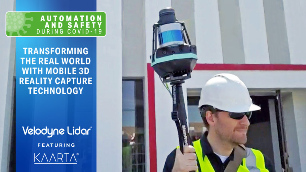
Kaarta, an Automated with Velodyne partner, provides mobile scanning systems, equipped with Velodyne’s lidar sensors, that enable real-time 3D reality capture. These systems produce accurate, measurable 3D models and vivid visual representations of complex environments, ranging from buildings and infrastructure to dangerous and hard-to-reach areas.
Here are three takeaways from the webinar:
Kevin explained how Kaarta’s roots are in helping robotics address two fundamental questions: where am I (localization) and what’s around me (mapping). Building on this foundation, Kaarta mobile mapping systems address numerous applications, including construction, mining, structures and buildings, urban mapping, asset management and more. Kaarta systems address the reality capture needs of customers, delivering both visual and dimensional information.
Kevin reviewed the role of lidar and cameras in Kaarta systems and shared a distinction between the sensors. In providing geometric information, lidar measures while cameras generally estimate. Kevin noted Velodyne’s lidar provides very good resolution and consistent accuracy measured to true value. He sees lidar and cameras as providing a powerful combination that allows scanning professionals to achieve both good visual and dimensional fidelity.
Managing the massive amount of data generated in mobile mapping has grown even more challenging with people working remotely during the COVID-19 pandemic. Kevin discussed how Kaarta Cloud, a new cloud-based application, helps users manage the size and complexity of the data collected, which can result in data sets in excess of one billion points. Kaarta Cloud provides a comprehensive workflow so users can extract maximum value from scans and share data and collaborate with anyone in the world.
Watch the full webinar below!

Velodyne Lidar (Nasdaq: VLDR, VLDRW) ushered in a new era of autonomous technology with the invention of real-time surround view lidar sensors. Velodyne, a global leader in lidar, is known for its broad portfolio of breakthrough lidar technologies. Velodyne’s revolutionary sensor and software solutions provide flexibility, quality and performance to meet the needs of a wide range of industries, including robotics, industrial, intelligent infrastructure, autonomous vehicles and advanced driver assistance systems (ADAS). Through continuous innovation, Velodyne strives to transform lives and communities by advancing safer mobility for all.


