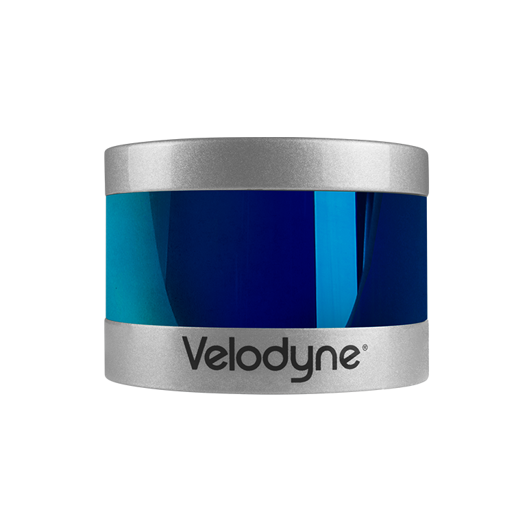
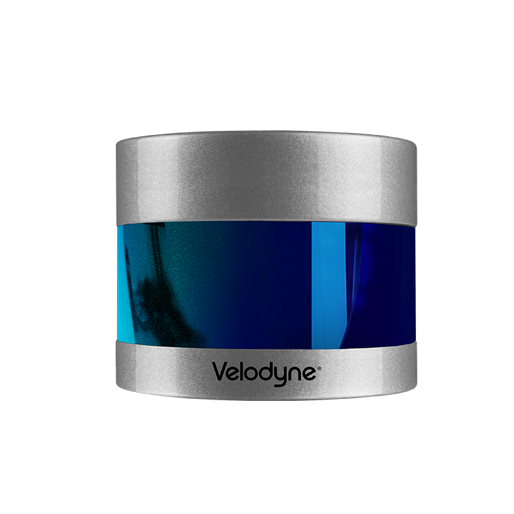
Velodyne makes it easy to add lidar to unmanned aerial vehicles (UAV) for collecting geospatial data that will inform effective revenue-generating business decisions. Our sensors enable companies to build highly accurate 3D models of any environment for mobile mapping, delivery and surveying, as well as real-time assessment and monitoring applications.
Aerial Mapping • Agriculture, Archaeology • Construction • Disaster Recovery • Forestry • Geography • Indoor Aerial Vehicles • Safety and Survey Inspections • Search and Rescue • Site Survey • Software Tools • Solar Energy • Underground Mapping • Wind Turbine Inspection • Mining
