


Routescene (brand owned by Mapix technologies): Design and manufacture of integrated 3D mapping solutions specifically for use on drones (Unmanned Aerial Vehicles or UAVs). Designed by surveyors, we build survey-grade end-to-end systems to solve specific industry problems, save time, improve efficiencies and productivity. Our integrated system comprises workflow methodologies, software including specific data processing tools, hardware, and firmware.
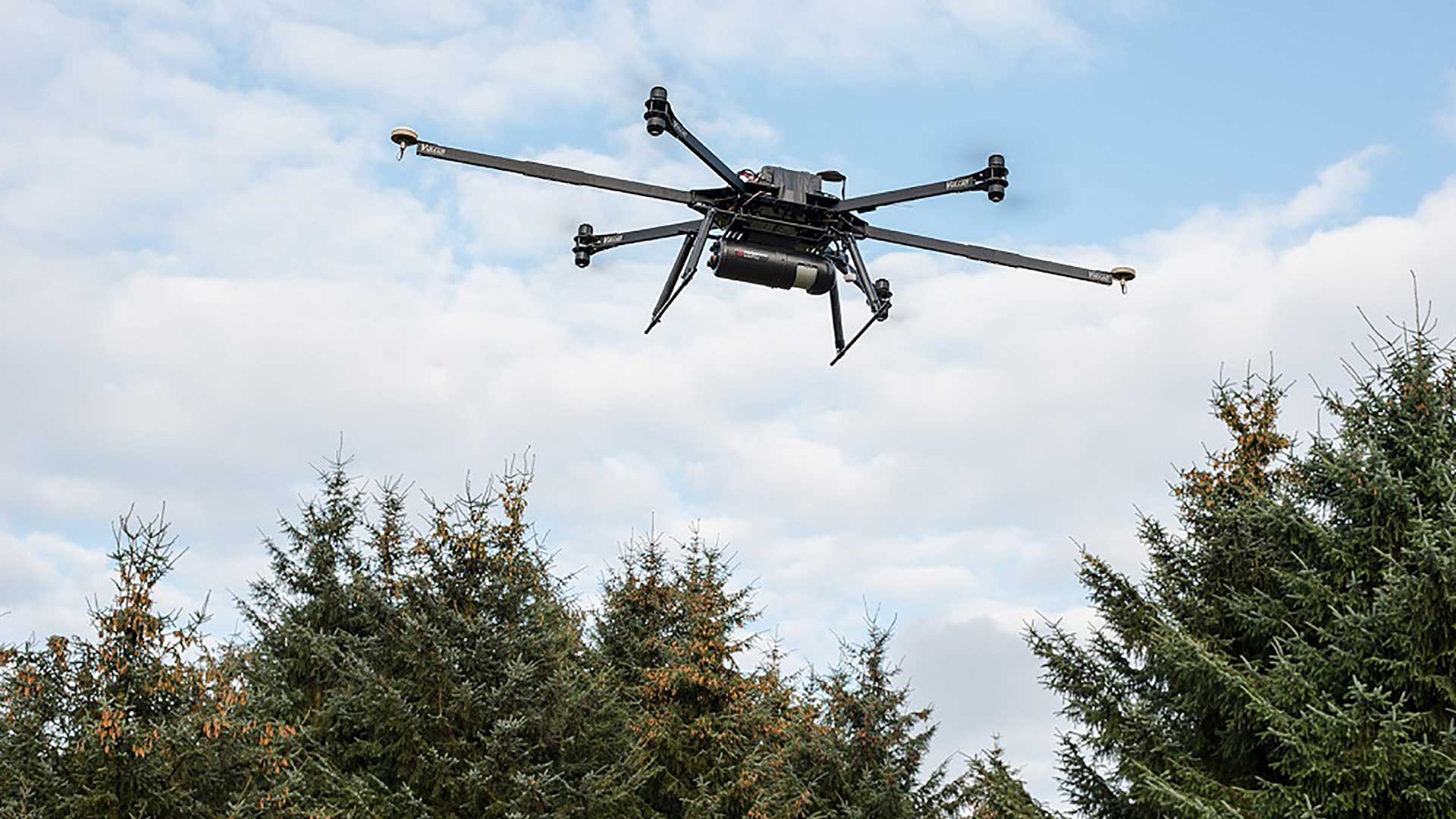
Designed to survey sites where the accurate mapping is essential but difficult to achieve, the Routescene turnkey solution is the perfect system for penetrating dense vegetation, particularly in hard to reach, hazardous or hostile environments where access is difficult or dangerous.
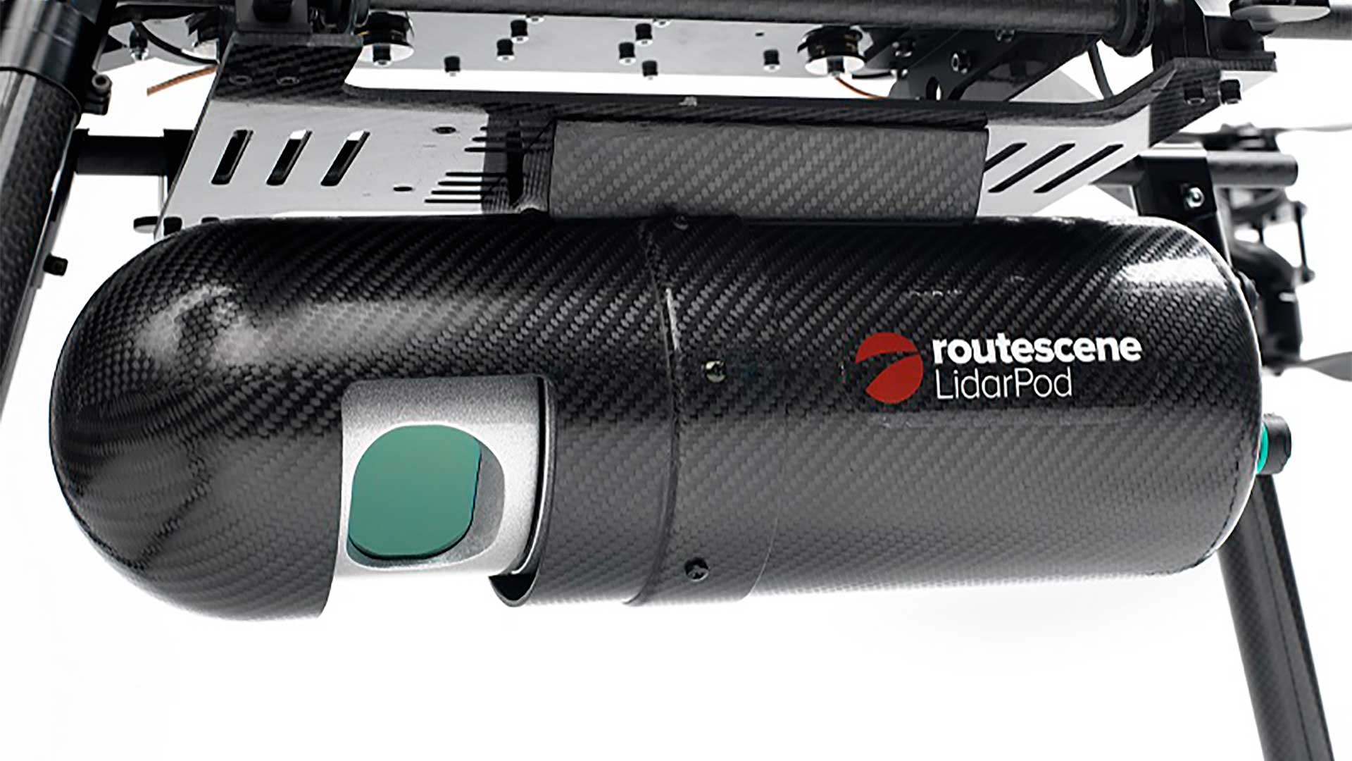
The integrated system comprises workflow methodologies, software including specific data processing tools, hardware, and firmware. The Routescene “LidarPod” the hardware for data collection includes a carefully selected array of sensors to ensure the solution is fit for purpose across a range of different surveys and mapping applications. The Velodyne HDL-32, the workhorse of the modern UAV mapping industry, is integrated with an INS, radio telemetry and data storage to collect precise survey data, quality controls the data in real-time and create a very dense and accurate georeferenced point cloud. The software includes a web-based app for real-time in-flight data monitoring and LidarViewer Pro for data processing and analysis of the collected point cloud.


