Routescene, headquartered in Edinburgh, Scotland, designs, develops and manufactures integrated three-dimensional lidar mapping solutions for drones (Unmanned Aerial Vehicles or UAVs). The Routescene UAV lidar system, equipped with a Velodyne lidar sensor, is commonly used for hard to reach, hazardous and hostile environments which can be dangerous or difficult to access. It is particularly well suited to applications where high penetration of dense vegetation is required.
Routescene’s proprietary software, LidarViewer, offers a wide range of filters which dramatically reduce the time taken to post-process data. For example, the application of the purpose-built “Bare Earth” tool means Digital Terrain Models (DTMs) can be quickly and easily produced, removing all the non-ground points to reveal the surface below.
Because of these powerful capabilities, Routescene is seeing the increased use of its system for archaeology and forensics, discovering artifacts in thick vegetation and wooded areas that are not easily visible at ground level. Other applications include forestry, landslides, flood management, and mining.
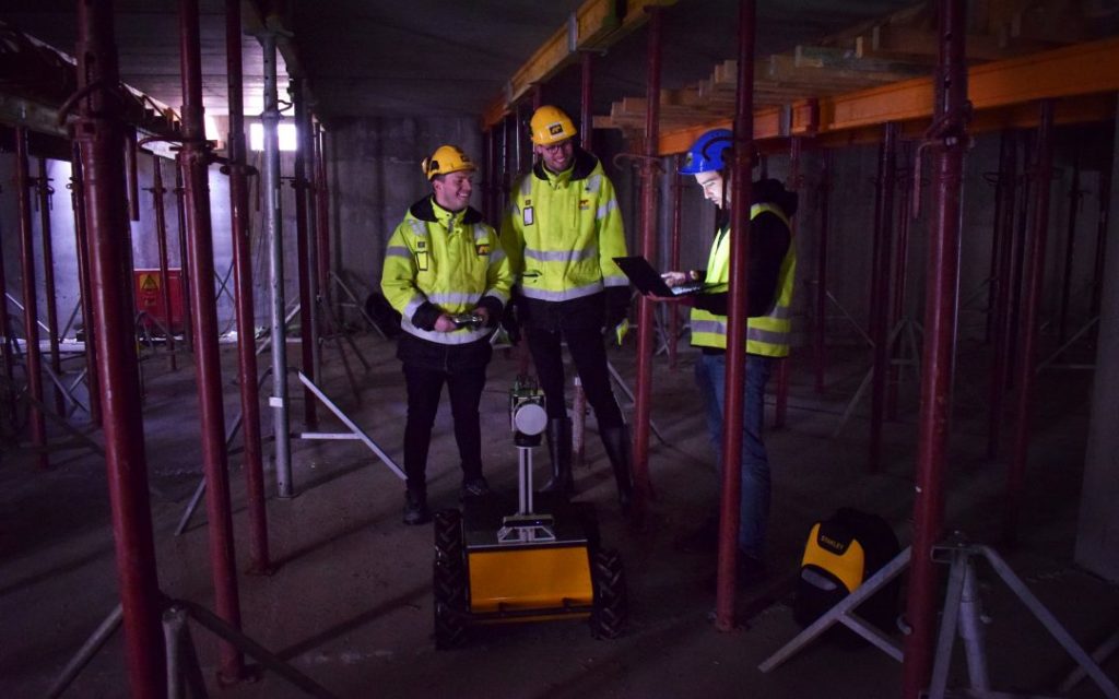
Routescene prides themselves on their training and customer support, enabling customers to become proficient with the Routescene system and their six-stage workflow as quickly as possible. Fundamental to the system, this workflow is a set of orchestrated and repeatable procedures and processes, so every survey and subsequent data analysis is conducted in a consistent, streamlined way, ensuring the best possible outcomes each time.
It has been over three decades since reactor Number 4 at the Chernobyl Nuclear Power Plant in the Ukraine melted down, leading to the world’s worst civilian nuclear disaster in history. A group of researchers from the UK’s National Centre for Nuclear Robotics (NCNR) planned to conduct surveys on multiple sites of interest within the Exclusion Zone which surrounds the damaged reactor.
The surveyed sites included Buriakivka village, a settlement abandoned following contamination from the power plant accident, and the “Red Forest,” a natural woodland area located the closest to the reactor, hence the most heavily contaminated.
With increasing numbers of visitors to the area, it was important to know the levels of radiation remaining in the surrounding area, particularly hotspots of dangerous and harmful amounts of radiation. Furthermore, a challenge in surveying was the Red Forest woodland area. All of this needed to be completed quickly and without people on the ground risking their safety.
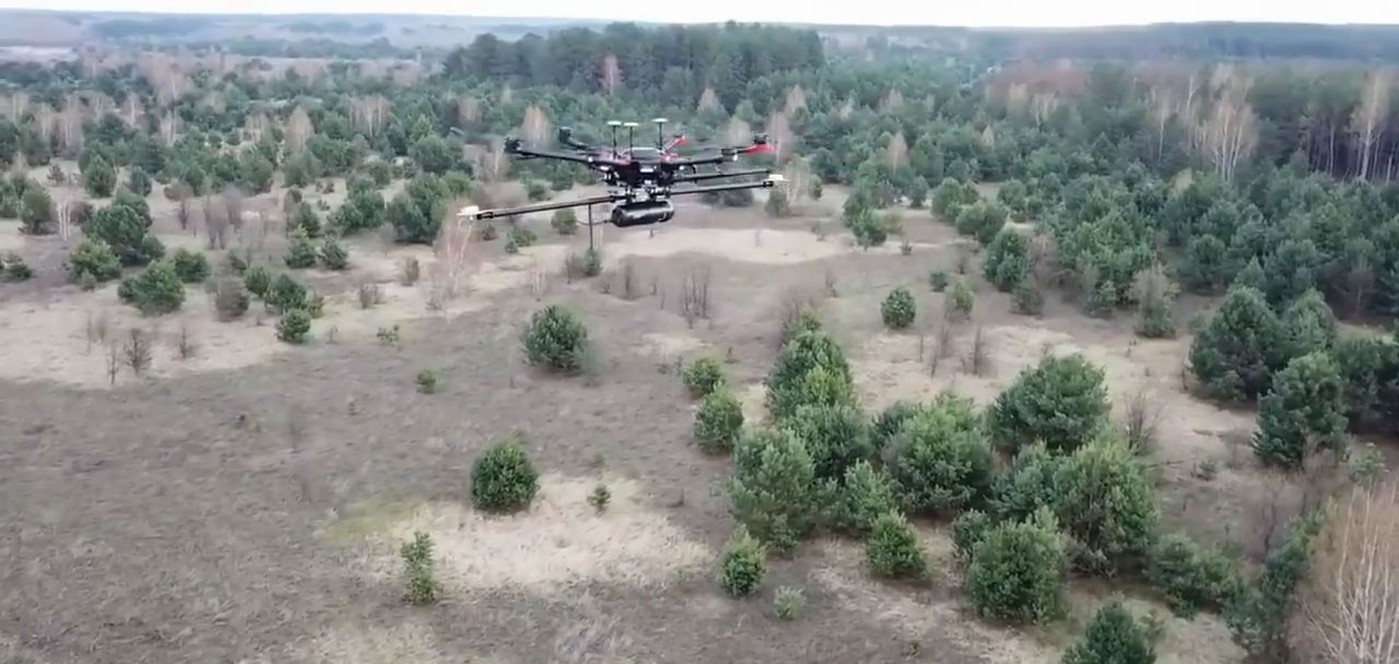
Working closely with local Ukrainian authorities, a team of multidisciplinary researchers operated Unmanned Aerial Vehicles (UAVs) to perform a series of radiation mapping surveys. Fixed-wing drones were used first, which could cover large areas in a short amount of time. When radiation hot spots were identified, Routescene’s lightweight LidarPod, outfitted with Velodyne’s HDL-32 lidar sensor, was flown on a DJI M600 hexacopter drone to survey these smaller areas in greater detail.
The UAV surveys had the advantages of speed and accuracy, while also taking away the safety risks of people on the ground.
The lidar point cloud data collected was processed using Routescene’s LidarViewer Pro software to generate a detailed Digital Terrain Model (DTM). The model was overlaid with the results from a gamma spectrometer survey, undertaken to measure radiation intensity, to locate the exact sites of the radiation hotspots.
Routescene’s lidar technology was chosen as the team “required high-resolution terrain and building models as inputs to a hotspot identification algorithm. It was also very useful to capture the 3D shape of some buildings,” according to Dr. Kieran Wood, Senior Research Associate at the University of Bristol.
“The algorithm converts the aerial radiation intensity recorded by a UAV survey into a ground intensity map. This process is heavily affected by the distance between the airborne radiation sensor and the ground and buildings, hence high accuracy lidar-based models were essential,” explained Dr. Wood.
Over ten days, the researchers deployed fixed-wing drones to fly multiple missions over the sites of interest. They coarsely mapped a grid over an area measuring about six square miles. Routescene’s remote-sensing lidar technology was then used to create a detailed 3D map of specific areas of interest.
Using the data obtained from the surveys, the researchers were able to create the most detailed map of radiation in the forest to date. The data also revealed radiation anomalies at previously unsuspected locations.
While the general widespread radiation contamination in the Red Forest was already known, the results revealed that the radioactivity was unevenly distributed. Although radiation intensity had reduced in some areas, other areas remain highly contaminated confirming continued danger to anyone accessing those areas.
The researchers detected one unexpected hotspot in the ruins of a facility that was used to separate contaminated waste during clean-up efforts immediately after the accident. Tiny fragments of spent nuclear fuel, found at an old mechanical sorting facility, were emitting so much radiation that exposure for just a few hours would dose a person with as much radiation as is usually absorbed over an entire year, Professor Tom Scott told the BBC.
Prof. Scott added, “Some of the radioactivity has died away, but there are certain
radioisotopes that are still present with very long half-lives. They are going to be around for a long time.” Authorities now know more about this zone and can start to look at how to approach visitors and management for the area.
With this research, if there was to be a nuclear incident in the future, there are now the robots and methodologies needed to provide spatially detailed maps of radiation spread without needing to send in human responders.

The Velodyne HDL-32 delivers the rich computer perception data needed for high-performance survey solutions and is an integral part of the Routescene UAV lidar system. The sensor’s compact size and versatility make it ideal for any unmanned aerial vehicle to meet the needs of demanding survey and terrain applications.
Using Routescene and Velodyne lidar solutions allowed a team of multidisciplinary researchers to map radioactive hotspots around Chernobyl in greater detail than ever before. These solutions enable up to 1.4 million data points per second to be collected from 32 different lasers angled in a 40-degree field of view. Crucially, they permitted the researchers to conduct operations and complete real-time QA monitoring at a safe distance from the radioactive sites, keeping them from harm.