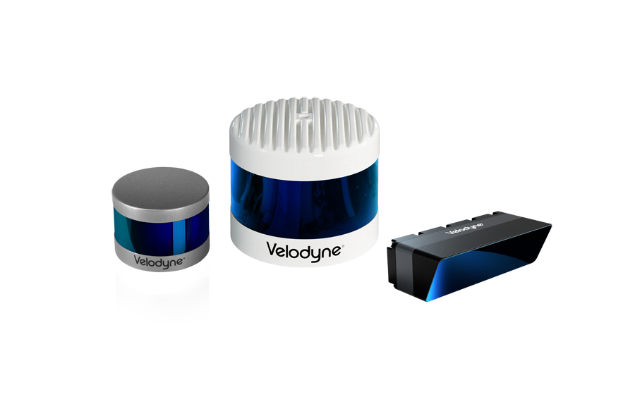
To advance this effort, the Department of Geological Sciences at San Diego State Univ. (SDSU) teamed with Geodetics Inc., a leading manufacturer of integrated mobile mapping systems that utilize passive and active vision sensors (LiDAR/Camera), to research the San Andreas Fault in southern California. The study scanned the fault with Geodetics’ drone-based Geo-MMS™ LiDAR/Camera mapping system that uses Velodyne LiDAR technology and an RGB camera to deliver the most accurate 3D data on the market.
Read more at:

Velodyne Lidar (Nasdaq: VLDR, VLDRW) ushered in a new era of autonomous technology with the invention of real-time surround view lidar sensors. Velodyne, a global leader in lidar, is known for its broad portfolio of breakthrough lidar technologies. Velodyne’s revolutionary sensor and software solutions provide flexibility, quality and performance to meet the needs of a wide range of industries, including robotics, industrial, intelligent infrastructure, autonomous vehicles and advanced driver assistance systems (ADAS). Through continuous innovation, Velodyne strives to transform lives and communities by advancing safer mobility for all.