Broad UAV Market Trends
The industrial drone market has evolved at a phenomenal pace over the last 12 months. Drone manufactures like DJI, Microdrones, SenseFly, and 3DR are entering the industrial drone space with value-added drone hardware solutions targeting the enterprise. In addition to traditional hardware manufactures and system integrators, a new group of “Data Platform” companies with cloud-based flight logistics planning and data analytics have joined the industry to better serve and support the growing customer base. A few of these data platform companies are Airware, DroneDeploy, SkyCatch, and DroneBase. As the adoption of drones with camera (photogrammetry) gains popularly at a global scale, the market is ready for expanded functionalities such as real-time analytics and autonomous flight with complimentary sensor technologies such as LiDAR.
The Growth of LiDAR for UAV
LiDAR adoption in drones began with data collection applications in aerial mapping and surveying. Before LiDAR, aerial mapping was completed using expensive and complex surveying instruments onboard piloted aircraft.
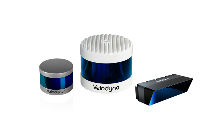
To keep up with the expanding UAV mapping market, on February 22, 2016, Velodyne released the Puck LITE™. Retaining our patented 360 degree surround view to capture real-time 3D LiDAR data, including distance and calibrated reflectivity measurements, the Puck LITE™ is a lighter version of the VLP-16 Puck weighing in at 590 g versus 830 g for the latter. With our reduced weight LiDAR sensor, mid-flight real-time localization and path planning has become possible.
Expansion of Applications
Companies across multiple industries are actively looking to incorporate drones into their existing workflow, which has led to an increase in UAV mounted LiDAR applications.
In addition to real-time analytics, the LiDAR technology helps drones avoid obstacles and navigate autonomously, allowing the operators to focus on the job and not on the steering the drone through a complex environment.
Forestry and Agriculture
A drone equipped with a LiDAR unit can produce high-density point clouds that accurately map crop and forestry canopy, as well as the terrain underneath. By combining the relative distance and reflectivity data collected by the LiDAR, roll/pitch/yaw readings from IMU, and absolute position from GPS, an accurate 3D model of the terrain can be reconstructed in a virtual environment. Ground elevation, crop volume, canopy height, and biomass can be accurately measured and analyzed from just a quick fly-over of LiDAR equipped drone. The data generated, once analyzed, can be used to create forest management plans and measure, observe, and respond to variability found in crop production and to improve farm yield.

Oil, Gas, and Utilities
Drones are being deployed worldwide to help maximize work safety and efficiency throughout the oil and gas industry. Additionally, drones are now able to substitute ground vehicles, helicopters, and industrial climbers as a low-cost, low-risk alternative for asset management and inspection companies servicing the utility industry. From vertical flare stack inspection and beyond line-of-sight pipeline surveys to infrastructure maintenance in total darkness, to construction and certification of transmission networks and routine maintenance of conductor and distribution towers, drones are reducing the danger and upping the efficiency of utilities.

Telecomm
Telecommunication towers are ideal structures to benefit from developments in drone and LiDAR technology. Various asset management and maintenance tasks, such as antenna alignment and vegetation growth, can be analyzed from the ground using a LiDAR mounted drone.

Construction
Emerging drone solution providers are helping re-shape the construction industry by expediting common projects like site selection and preparation, project monitoring, asset management, routine inspections, and damage assessments. A LiDAR unit can map the desired area in real time and generate a detailed map of the selected site. The map can then be used to plan everything from landscaping changes to building and utility placement.
As LiDAR and UAV technology grow, so will the uses for this technology. From mapping and inspection, to search and rescue, Velodyne will continue to design and manufacture the highest quality sensors for any application.
This article was Co-Authored by: Harris Wang, Strategic Markets Director for Velodyne LiDAR

Harris Wang has served various roles in engineering, sales and marketing at Fortune 150 companies with specialty in global strategy execution and business process improvement. After having lived in Shanghai, Chicago and Beijing, Harris feels great to be back to the Silicon Valley and take part in the Mobility Revolution on land and in the air!
Harris received his B.S. in Electrical Engineering from UCLA and is currently pursuing Global EMBA at China Europe International Business School (CEIBS).

Velodyne Lidar (Nasdaq: VLDR, VLDRW) ushered in a new era of autonomous technology with the invention of real-time surround view lidar sensors. Velodyne, a global leader in lidar, is known for its broad portfolio of breakthrough lidar technologies. Velodyne’s revolutionary sensor and software solutions provide flexibility, quality and performance to meet the needs of a wide range of industries, including robotics, industrial, intelligent infrastructure, autonomous vehicles and advanced driver assistance systems (ADAS). Through continuous innovation, Velodyne strives to transform lives and communities by advancing safer mobility for all.