Archeologists uncover pre-historic mysteries so humans can understand the past. Traditional archeology requires hundreds of man-hours poring over old documents and tromping through muddy fields searching for lost civilizations. Today, with LiDAR mapping, explorations that once took years can be completed in a matter of days.
LiDAR Basics
LiDAR, which stands for Light Detection and Ranging, uses laser pulses to take measurements and generate a 3D map of an environment. After the unit sends out a laser pulse, a sensor on the instrument measures the amount of time it takes for each pulse to bounce back. Because light moves at a constant speed, the LiDAR sensor can accurately calculate the distance between itself and the target. When the sensor receives data about the location of objects, it generates a point cloud of data points. These data points are fed into slamming software, which creates a 3D image of the environment surrounding the LiDAR unit.
Locating Lost Civilizations with LiDAR
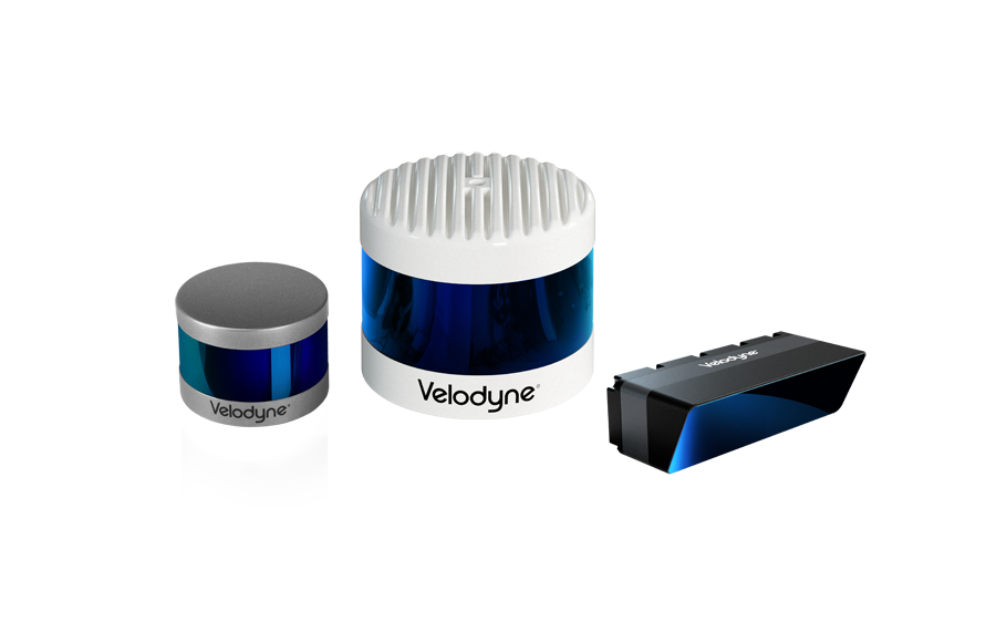
Locating lost civilizations begins with mounting LiDAR sensors, such as Velodyne’s Puck Lite, onto a small plane or drone. The plane is flown over the area archeologists want to investigate. While airborne, the LiDAR unit bounces laser pulses off the ground to generate a map of its surface features. The 3D map reveals geometric patterns, mounds, and indentations that cannot be detected from the ground. When collected on a 3D map, the patterns reveal the shapes of buried buildings, walls, water systems, gardens, and roads.
Current Discoveries
The use of LiDAR mapping for archaeological research became popular in 2010, when Arlen and Diane Chase from the University of Central Florida used LiDAR to uncover a large swath of ruins near Caracol, an ancient Mayan city outside of Belize. Since then, LiDAR mapping technology has been used to make more historic findings.
In 2016, Matthew Liebmann, an archaeologist at Harvard, used LiDAR technology to discover the ruins of a village previously inhabited by Native Americans in the Jemez Mountains of New Mexico. Liebmann used LiDAR to map and count how many buildings and rooms were in each settlement to approximate the village population. He then counted the rings inside of trees now growing inside of those housing structures to approximate how long ago the villages were inhabited.
The biggest news in LiDAR archeology, however, was the uncovering of several cities in the jungle surrounding Angkor Wat. A LiDAR mapping survey was conducted over a three-year period by the Cambodian Archaeological LiDAR Initiative (CALI). A scan was made across 2,000 square kilometers of Cambodian jungle in an effort to learn more about the medieval Khmer empire. The sheer size of the cities being uncovered suggest the Khmer empire was the largest of the 12th century. This discovery may rewrite Asia’s history.
Combined with brilliant archeologists and their hard-working teams, LiDAR mapping can reclaim what time has buried beneath the earth. Every day, new discoveries bring us closer to understanding human history.

Velodyne Lidar (Nasdaq: VLDR, VLDRW) ushered in a new era of autonomous technology with the invention of real-time surround view lidar sensors. Velodyne, a global leader in lidar, is known for its broad portfolio of breakthrough lidar technologies. Velodyne’s revolutionary sensor and software solutions provide flexibility, quality and performance to meet the needs of a wide range of industries, including robotics, industrial, intelligent infrastructure, autonomous vehicles and advanced driver assistance systems (ADAS). Through continuous innovation, Velodyne strives to transform lives and communities by advancing safer mobility for all.