

GRYFN focuses on advanced remote-sensing hardware and software for field scale plant breeding and agricultural research with origins from a multidisciplinary Purdue University ARPA-E (Department of Energy) funded phenotyping research project. GRYFN’s solutions apply to a wide range of applications such as forestry, natural resources, and environmental studies.
Take the lab to the field- Make high quality, precision, and repeatable UAV-based remote sensing easy to use. Saving labor hours, improving objective measurements, and driving insight are the key to accelerating the breeding process.
Our customers represent commercial agricultural breeding/research companies and universities looking for high-quality UAV-based multi-modal sensing solutions for precision temporal analysis. We provide well-calibrated multi-modal sensor systems and custom software to easily create high-quality data cubes. Many customers have existing sensor systems that they wish to customize or upgrade to a GRYFN system as customized system integration.
Analytical products can be extracted from our standard or consultative analysis tools. Primarily, customers reply on the GRYFN platform and software for the capture of high-quality data and leverage existing internal analysis tools and pipelines.
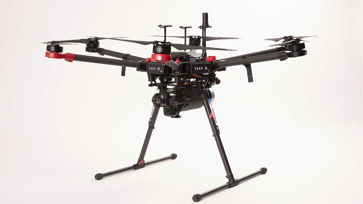
GRYFN offers advanced, multi-modal drone-based solutions for research and commercial applications. Our imaging technology, processing software, and expert analytics deliver research-quality data to drive insights and inform decisions. GRYFN multi-sensor drone-based systems provide concurrent visual, hyperspectral, and laser remote sensing for agricultural research and a wide variety of other industries and applications.
GRYFN’s standard hardware solution is a UAV-based concurrent VNIR hyperspectral, 3D LiDAR, and high-resolution RGB remote sensing system. GRYFN designs and builds the custom electronics and mounting hardware necessary to integrate each of the sensors and provide a simple data collection workflow to the user. A rigorous boresight calibration is performed to ensure co-alignment of temporal multi-sensor data.
GRYFN software solution includes pipelines for processing hyperspectral, LiDAR, and RGB data, as well as plot layout design and data extraction. Further advanced features for analytics, visualization, and automation are under development.


