


Mobile scanning systems are becoming important reality capture tools. They can play a role in applications that include post-earthquake assessment, surveys of damaged buildings, aiding first responders in emergency situations and more.
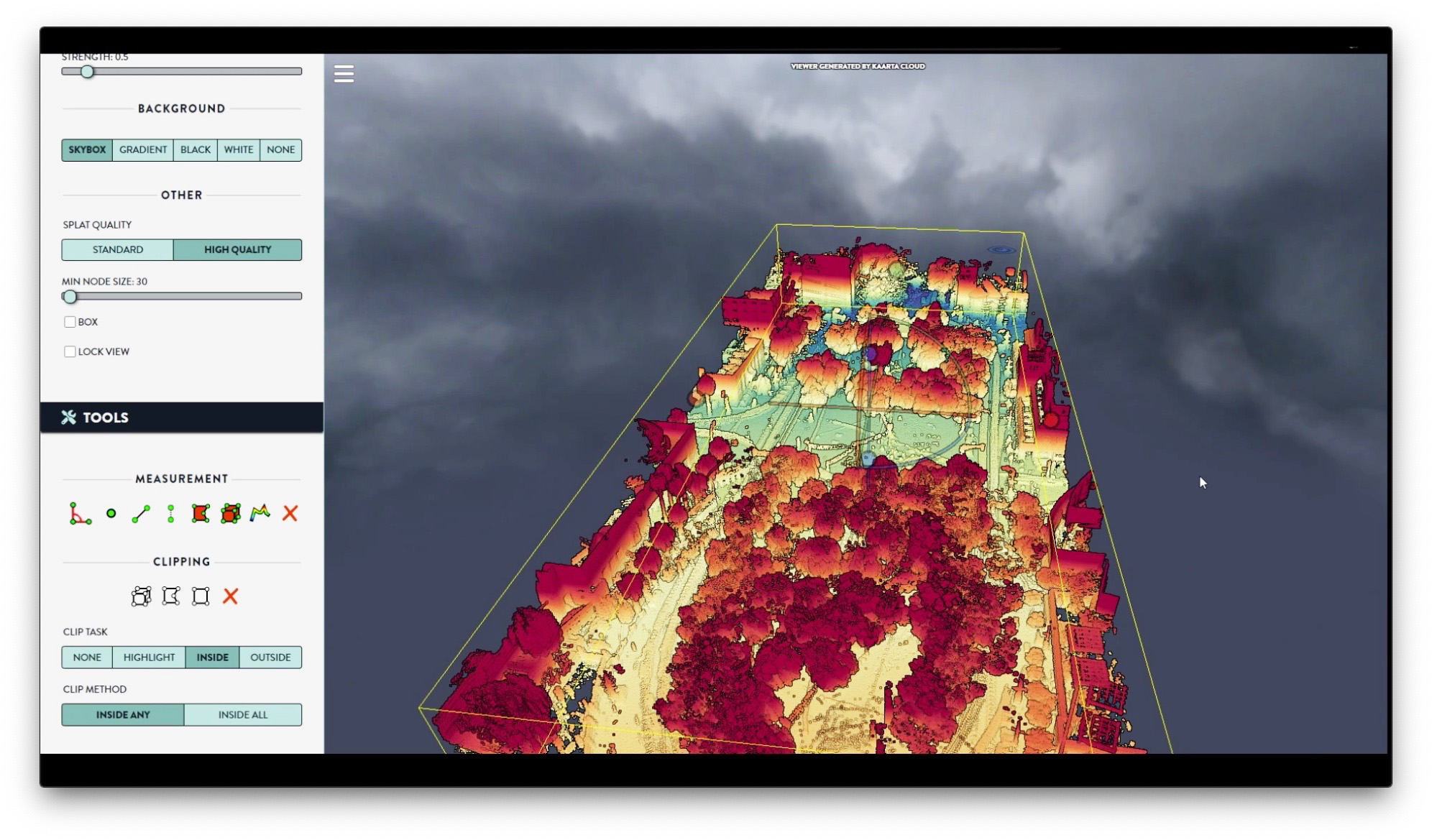
Kara Lauter wrote an article in SPAR 3D on how Kaarta Cloud now exclusively supports Velodyne’s lidar sensors. Data captured with Velodyne’s lidar can be uploaded into Kaarta Cloud to process it into a point cloud for use. This combination makes high-quality 3D mobile mapping more accessible to a broader customer base.
The SPAR 3D story quotes Kevin Dowling, CEO, Kaarta, as saying:
“Kaarta Cloud opens up access to Kaarta’s advanced SLAM-based technology to Velodyne’s lidar sensors, in addition to Kaarta systems. It provides a fast, flexible workflow to manage mobile mapping 3D data from field capture to finished data.”
To read the SPAR 3D story, please go to: Velodyne announces Kaarta Cloud will exclusively support its lidar sensors

Velodyne Lidar (Nasdaq: VLDR, VLDRW) ushered in a new era of autonomous technology with the invention of real-time surround view lidar sensors. Velodyne, a global leader in lidar, is known for its broad portfolio of breakthrough lidar technologies. Velodyne’s revolutionary sensor and software solutions provide flexibility, quality and performance to meet the needs of a wide range of industries, including robotics, industrial, intelligent infrastructure, autonomous vehicles and advanced driver assistance systems (ADAS). Through continuous innovation, Velodyne strives to transform lives and communities by advancing safer mobility for all.


