
Geodetics is an advanced sensing and navigation company founded by a team of passionate scientists and engineers that pride themselves on innovative products. We are a go-to provider for unmanned aerial vehicle (UAV) lidar drone mapping and other mobile applications in the air, on land and at sea. Geodetics specializes in developing the most advanced PNT solutions for manned and autonomous vehicles in aerospace & defense programs. We also deliver state-of-the-art lidar mapping systems for commercial drone operations in both U.S. and international markets.
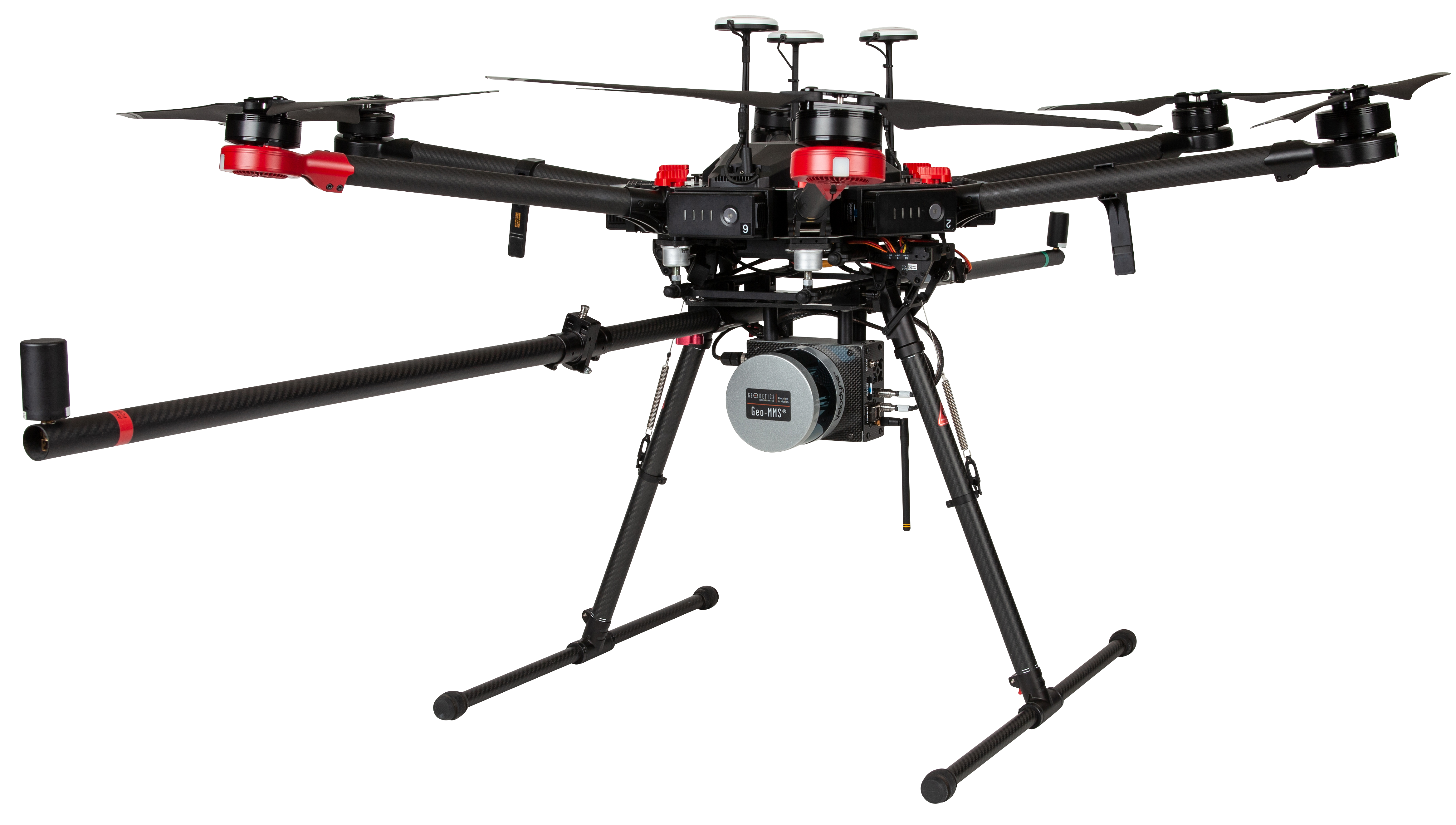
Companies turn to Geodetics to provide highly accurate geospatial products. Our challenges involve developing full turnkey solutions that address the combination of performance and price requirements of customers while leveraging top-of-the-line sensing products. While a large portion of the remote sensing industry develops expensive lidar drone products, Geodetics looked to provide an even better level of fidelity at an affordable cost for the customer. We achieved this objective by integrating the Geodetics Geo-MMS system, developed by leading navigation scientists, with Velodyne lidar sensors to provide high quality, low-cost solutions.
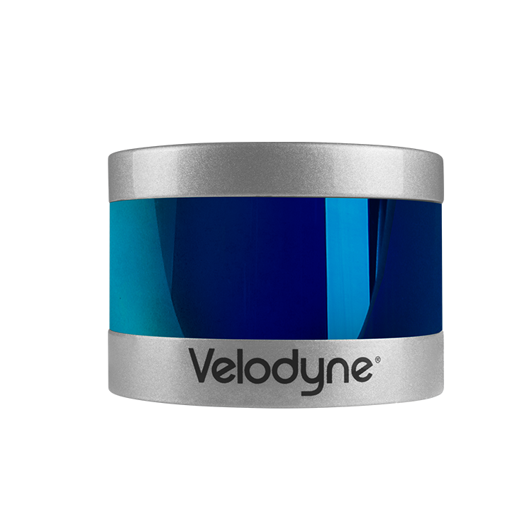
With the cost of many lidar sensors on the market reaching outside the cost parameters of customers at well over $250K, Geodetics knew Velodyne was an excellent choice for our drone navigation and photogrammetry integration. The cost-effective Velodyne Puck lidar sensor enabled Geodetics to take full advantage of a great sensor while making an affordable turn-key solution paired with our Geo-MMS system.
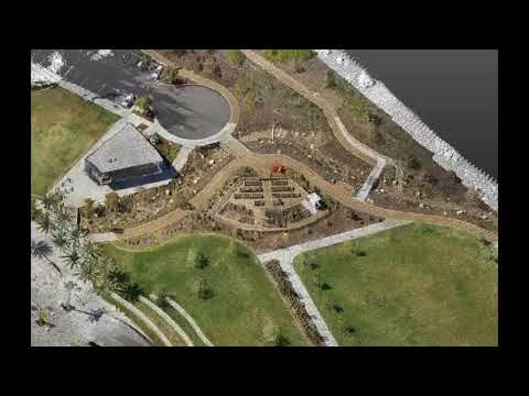
Geodetics drone mapping solutions make calibration a breeze. The fully integrated Velodyne lidar drone packages allow Geodetics to satisfy clients in a variety of industries. Utilizing Velodyne sensors has allowed Geodetics to reach clients and industries that would have otherwise passed on lidar collection due to cost. Geodetics has built a Geo-MMS family of mobile mapping systems that provide multiple levels of fidelity using proven coordinate frames and on-board inertial navigation. Geo-MMS systems include Geo-Photomap, Geo-MMS LiDAR and Point&Pixel.
“Having Velodyne lidar-based services has allowed Nolte de Mexico to provide accurate and cost-effective survey services on projects that otherwise were not possible! Using a Geodetics lidar UAV system, we successfully completed a 200-acre topographic survey in a highly vegetated, jungle parcel in Playa del Carmen, Mexico, for the design of a bus rapid transit project.”
“The Geodetics system with Velodyne lidar is simple and easy to use, but more important, it is a tough and reliable product. We have been scanning 8 hours a day over 7 months with no issues and no need of maintenance.”
“When shopping for a lidar system to meet my business requirements, I needed to find the best system at the best price I could. With Geodetics, I got that along with exceptional customer service and extremely knowledgeable staff. The system was affordable enough to get me into the lidar market without sacrificing quality of data. Now I am receiving contracts I did not expect to have because of it.”