OxTS, an Automated with Velodyne partner, has introduced a new version of its OxTS Georeferencer lidar-based georeferencing software tool. Georeferencer combines data from OxTS’ inertial navigation systems (INS) with raw lidar data to give surveyors the ability to create georeferenced 3D point clouds.
OxTS Georeferencer also gives surveyors the ability to calibrate their hardware setup with a data-driven calibration tool to efficiently calibrate the angles between the INS and lidar coordinate frames.
OxTS INS is used for airborne and vehicle-based survey and mobile mapping applications, where continuous position and high accuracy orientation information is essential for georeferencing sensor data.
Georeferenced point clouds can be used for a vast array of applications in the survey and mapping industry. One example was produced by Dronezone SRL, an OxTS and Velodyne Lidar customer in Romania. Dronezone was tasked to inspect the condition of a railway bridge.
The survey was completed using a UAV carrying a Velodyne Puck™ sensor with an OxTS xNAV650 INS. OxTS Georeferencer is used to calibrate the hardware setup and then to generate the point cloud. The UAV made many passes from all different angles around the bridge. The setup has been finely calibrated so that the power lines do not blur.
Using third-party point cloud analysis software, measurements of the bridge length and width can be easily taken and the distance between rails can be monitored for changes. Dual return data can also show where foliage has built up too densely on the railway line.
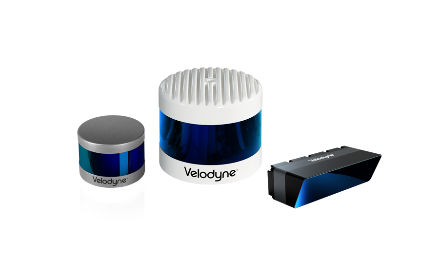
Among the key features of OxTS Georeferencer is the tool that allows users to combine data from their OxTS INS with a broad range of Velodyne’s lidar sensors. These Velodyne sensors include Puck, Puck LITE™ (beta), Ultra Puck™ (beta) and Alpha Prime™ (beta).
The integrations assist Georeferencer users in producing highly accurate, georeferenced point clouds from these Velodyne sensors. This capability enables a greater understanding of data quality which in turn gives lidar surveyors the ability to easily identify areas for improvement.
OxTS INS provides end users with absolute position and highly accurate inertial measurement information. These measurements help increase survey repeatability, cut down the time to survey, intelligently analyze data, improve final results and increase project ROI.

Velodyne Lidar (Nasdaq: VLDR, VLDRW) ushered in a new era of autonomous technology with the invention of real-time surround view lidar sensors. Velodyne, a global leader in lidar, is known for its broad portfolio of breakthrough lidar technologies. Velodyne’s revolutionary sensor and software solutions provide flexibility, quality and performance to meet the needs of a wide range of industries, including robotics, industrial, intelligent infrastructure, autonomous vehicles and advanced driver assistance systems (ADAS). Through continuous innovation, Velodyne strives to transform lives and communities by advancing safer mobility for all.