Solar power accounts for an estimated 30GW of renewable electricity generated in the US. This number is growing each year as more and more homeowners opt to install solar panels on the roof of their homes to reduce their electric bill. Solar power can only be collected when there is adequate expose to sunlight. In order to accomplish this, the location of solar panels on a home must be carefully planned to determine the best placement for maximum exposure.
The Problem
Manual rooftop inspection is very hazardous, mostly due to the risk of falling. It is also a very time-consuming task, as the inspector must hand measure each angle of the roof to determine where panels can be placed. The inspector must also map the grounds around the home to identify any trees that may potentially block sun exposure, and landscaping is often done to remove tree branches that may be casting too much shadow over a chosen area.
LiDAR/UAV solution with Scanifly
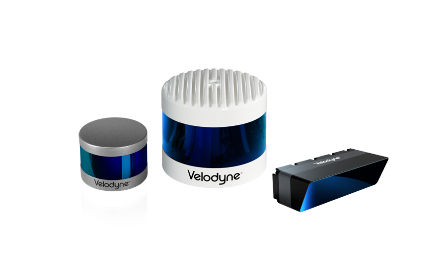
LiDAR units, such as our VLP-16 Puck Lite, have the ability to quickly map a home and the surrounding landscape in a matter of minutes. The data captured by LiDAR is incredibly detailed and can accurately measure the distances and angles of rooftops, while also mapping trees that need to be removed or trimmed to maximize sun exposure, all in a matter of minutes.
Scanifly’s LiDAR-based 3D mapping drone, Flydar, is a ready-made mapping solution for solar panel installation. Flydar combines an RTK GNSS-aided INS with a Velodyne LiDAR unit to generate point clouds with a relative horizontal accuracy of 3.8 to 5.7 cm and vertical accuracy of 4.5 to 6.75 cm. In addition to the LiDAR unit, Flydar also has an integrated high-definition camera for photorealistic 3D modeling.

After a scan is complete, 3D models are rendered in Scanifly’s proprietary software, allowing the user to design a PV system on a virtual replica of a home or business. The software also allows the user to generate accurate shade reports, even after trees have been removed.

Drone-mounted LiDAR sensors are the next big step in all-purpose mapping solutions. Wind turbine inspection and roof inspection for solar panel installation are just a few examples of the multitude of applications that a LiDAR mounted drone can be used for. For more information on our LiDAR products and applications, check out our website at www.VelodyneLiDAR.com.
For more information on Scanifly’s LiDAR mapping solution, Flydar, visit them at http://www.scanifly.com.

Velodyne Lidar (Nasdaq: VLDR, VLDRW) ushered in a new era of autonomous technology with the invention of real-time surround view lidar sensors. Velodyne, a global leader in lidar, is known for its broad portfolio of breakthrough lidar technologies. Velodyne’s revolutionary sensor and software solutions provide flexibility, quality and performance to meet the needs of a wide range of industries, including robotics, industrial, intelligent infrastructure, autonomous vehicles and advanced driver assistance systems (ADAS). Through continuous innovation, Velodyne strives to transform lives and communities by advancing safer mobility for all.